
Brownsburg Police Department Travel Advisory AND
National Weather Service Winter Storm Warning
Updated 2019 01 12 13:39
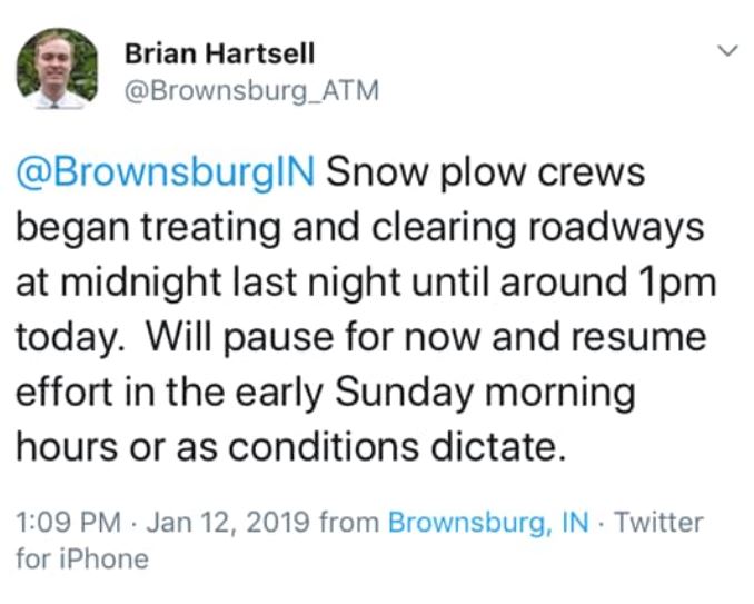

Posted – 2019 01 11 – 16:50 pm
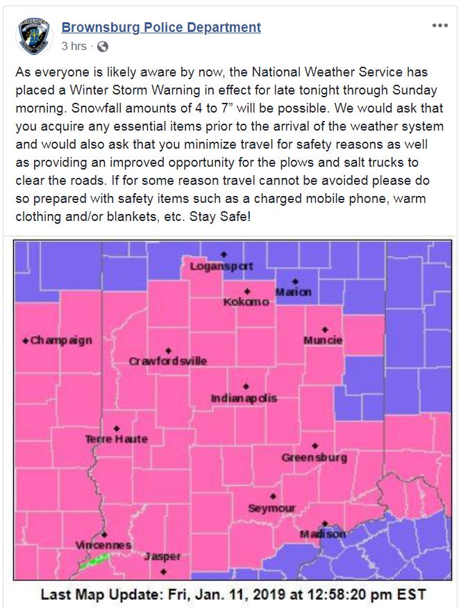
…Winter Storm Warning in effect late tonight through Sunday Morning….Confidence is high for the first significant snowfall of the season across Central Indiana. Snow will begin late tonight and continue through the day on Saturday before ending on late Saturday night. Snowfall amounts of 4 to 7 inches will be possible across Central Indiana….WINTER STORM WARNING REMAINS IN EFFECT FROM MIDNIGHT TONIGHT TO 7 AM EST SUNDAY…
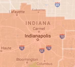
* WHAT…Total snow accumulations of 5 to 7 inches expected with minimal ice accumulations of a light glaze possible.* WHERE…Portions of central, south central, southeast, southwest and west central Indiana.
* WHEN…From midnight tonight to 7 AM EST Sunday.
* ADDITIONAL DETAILS…Travel could be very difficult.
* TIMING…Late Friday night through early Sunday morning.* MAIN IMPACT…Potential exists for 5 to 7 inches of snow accumulation, with locally higher amounts possible. This will create hazardous travel conditions.
* OTHER IMPACTS…Potential for low visibilities in heavy snow
bands.
Recommended actions:
A Winter Storm Warning means significant amounts of snow, sleet and ice will make travel very hazardous or impossible.
If traveling on Saturday…be prepared for very hazardous or impossible conditions. Consider staying off the roads and postponing travel to a better weather day.
The latest road conditions for Indiana can be obtained by calling 1 800 2 6 1 7 6 2 3
If traveling on Saturday…be prepared for very hazardous or impossible conditions. Consider staying off the roads and postponing travel to a better weather day.
The latest road conditions for Indiana can be obtained by calling 1 800 2 6 1 7 6 2 3
Content Brownsburg Police Department & National Weather Service

